
Last updated 03-25-2024
Category:
Reviews:
Join thousands of AI enthusiasts in the World of AI!
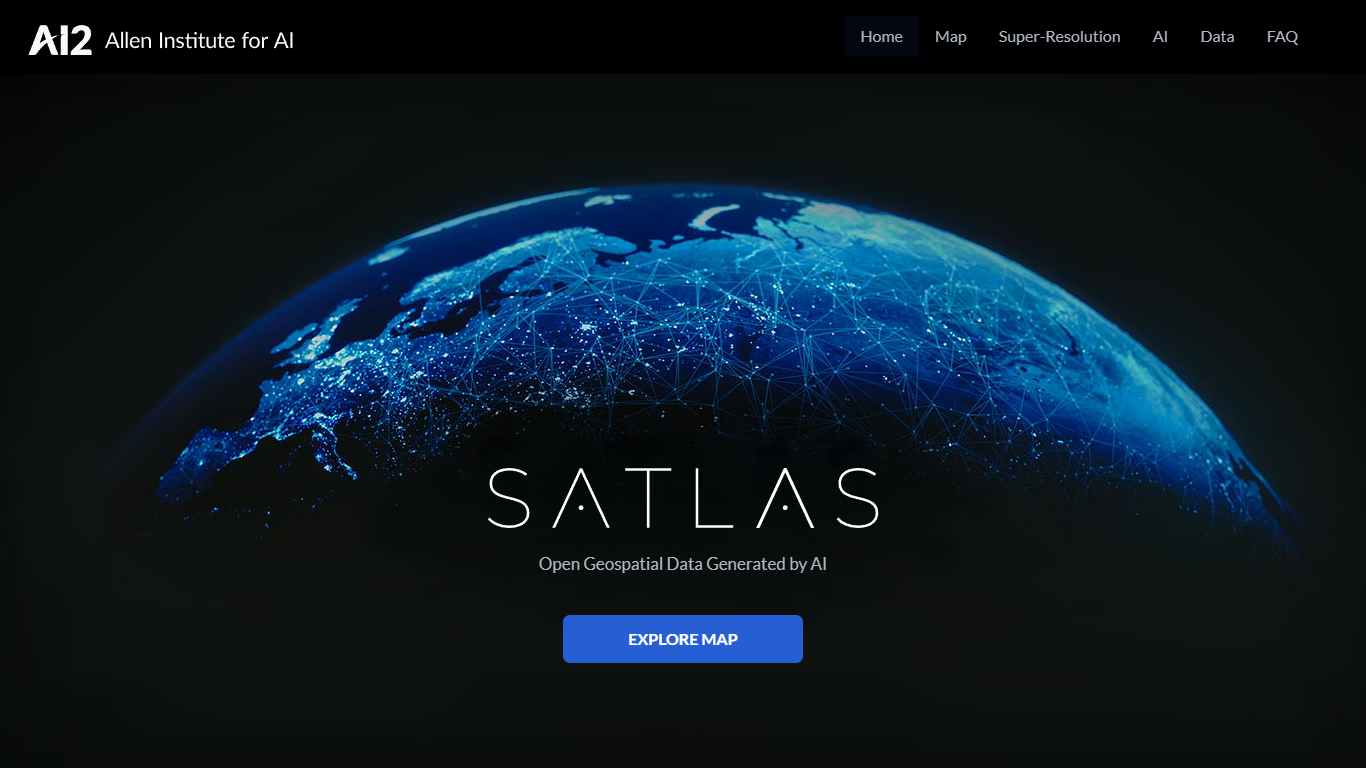
Satlas
Satlas is an innovative tool by AI2, offering a dynamic way to observe the changes our planet undergoes, with the help of AI-annotated satellite imagery.
This cutting-edge platform allows users to navigate through various timeframes and geographical locations to see transformations in the environment, urban development, and more. Satlas's user-friendly interface makes it accessible to educators, researchers, and enthusiasts interested in global changes visible from space.
By bringing together advanced satellite technology and artificial intelligence, Satlas provides an informative and engaging experience for all who are passionate about Earth's evolving landscape.
AI-Annotated Imagery: Satellite images annotated with AI for accurate observations.
Timeframe Navigation: Explore historical satellite imagery to witness environmental changes over time.
Geographical Exploration: Access satellite imagery from different locations around the world.
User-Friendly Interface: Designed to be accessible for both professionals and enthusiasts alike.
Informative Platform: Ideal for education and research, providing enhanced understanding of our planet.